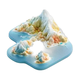
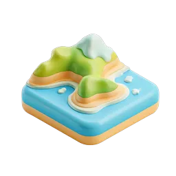
3D Topographic Terrain Map Icon - Layered Elevation Model
A beautifully crafted 3D topographic terrain model featuring layered elevation contours in soft pastel colors. The icon displays a detailed geographical representation with concentric layers transitioning from green hilltops through yellow and orange mid-elevations down to light blue water bases. A small island formation with its own peak sits beside the main landmass, creating a charming miniature landscape. The smooth, rounded clay-like rendering gives this topographic map a tactile, almost edible appearance. Perfect for geography apps, travel websites, environmental platforms, hiking and outdoor adventure applications, educational tools about Earth sciences, cartography projects, and digital mapping services. The clean white background and professional 3D rendering make it ideal for modern UI design, infographics, and presentation materials related to landforms, terrain analysis, or geospatial visualization.
- Format
- PNG · transparent
- Dimensions
- 256 × 256 px
- Use for
Image Generator Prompt
Free account required · 256 px free · Credit required · License